2026 Author: Howard Calhoun | calhoun@techconfronts.com. Last modified: 2025-01-24 13:10:32
With a sufficient number of construction companies, not every one of them is conscientious. The purpose of creating a geodetic presence is to control the quality of work in accordance with the project documentation. The emerging problems associated with construction, and most importantly, their solution, fall on the shoulders of surveyors. They provide builders with the necessary documentation, make geodetic markings on the ground, and control the correctness of calculations.
The importance of the work is obvious
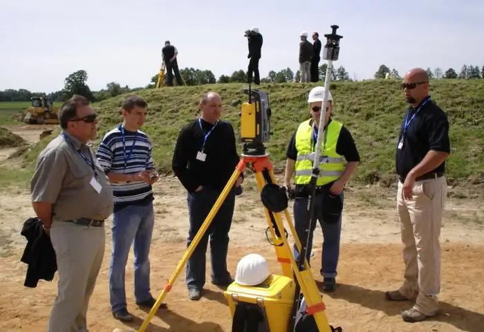
Geodetic construction support is a combination of engineering work and topographic surveys during the construction of buildings, structures and other infrastructure. Accompaniment is carried out from the beginning of work until its completion by a special geodetic service, consisting of specialists in this field.
Stages of geodetic works:
- selection and study of the future construction site;
- holdinggeodetic measurements, analysis of results;
- production of structures in compliance with all parameters;
- a set of preparatory measures (geodetic marking, engineering planning);
- the main stage of construction (the beginning of the construction implementation of the working project, the erection of structures with geometric support, the preparation of documentation);
- preparation and submission of reporting technical documentation on the results of geodetic support upon completion of work.
Planned process

Geodetic support of construction projects provides for activities:
- creation of own geodetic network and its improvement at the construction site;
- designation of the main axes of construction with fixing on the ground;
- designation of valid and transfer of fictitious benchmarks in the production of work;
- constant geodetic tracking of the geometry of building structures during the installation of equipment, alignment of tracks for construction cranes; control of vertical elements and horizon during formwork;
- conducting executive survey and drawing up drawings during construction;
- comparison of current results with projected ones;
- receiving reports from subcontractors;
- control of excavation and embankment of earth masses with calculation, calculation of the amount of work;
- monitoring the deformation of buildings and the movement of soil.
- preparation of profile reporting documentation for delivery bycompletion of construction with the application of the necessary documents.
Quality assurance
It is of utmost importance that everything complies with government requirements and regulations. Human lives are at stake. Failure to comply with established construction standards may result in premature collapse. Appeal to geodetic support of construction will be relevant.

The duties of surveyors also include additional work. Namely, the choice and marking of the construction site, the calculation of the future construction and excavation. They are also responsible for the proper use of funds. Upon completion of construction, a financial report is prepared on the cost of purchasing building materials. If there are discrepancies, the customer will first ask questions to the builders. And then to the contractor.
The customer, trusting geodetic support, can be calm about the quality of work and be sure that the quality of construction will meet all standards.
The price of a mistake is an additional cost
Represented by business entities, including JV, NP, LLC, geodetic support of construction is a complex and responsible business that requires careful attention to all the details. It is important to notice errors at an early stage of construction in order to eliminate them painlessly.

Correction of errors is an additional cost, the investor will not be happy. That is why they seek help.specialists (geodesic support of construction). This is the main reason for using their services. It's worth it. The building material will be exactly the one indicated in the estimate. All payments will pay off due to the lack of restoration measures.
The most advanced developments are applied, making it possible to obtain reliable data in the shortest possible time. The decisive role is played by the availability of the necessary tools that pass the regulatory check in a timely manner.
Contact the professionals
Geodetic construction support (SPB) is presented by professionals in their field and includes a symbiosis of special measures to ensure the accuracy and correct location of structures and buildings in accordance with the project and the requirements of regulatory documentation.
It is necessary to entrust such work only to professionals who have been working in the “construction” industry for more than a year and who know their job perfectly.
Previously prepared project documentation is being studied in order to know in which direction to work.

At the end of the work, technical reports and diagrams of the construction site are submitted, a geodetic survey of the facade is made using appropriate tools. Therefore, you can fully rely on the objectivity of measurements.
Hard-to-reach places are examined with the help of laser equipment. The results of the research are recorded in a journal and fixed on a plan, which is handed over to the customer upon completion of work.
Contractneeded
Not a single building can do without a legal justification, therefore, an agreement is drawn up for geodetic support of construction. Drawing up a contract puts everything in its place and allows you not to create problems in the future. Therefore, this treaty is very important.
There are many subtleties that always need to be discussed in individual negotiations between the contractor and the customer with the participation of a lawyer experienced in this activity.
The contract prescribes the obligations of the contractor and the customer, as well as other standard clauses of such an agreement. Failure to comply with even one point will lead to the termination of the contract and stop construction. All work and research will be carried out by the forces and means of the contractor, that is, the surveying company.

At the end of the work, the customer will receive a high-quality and solid construction.
Recommended:
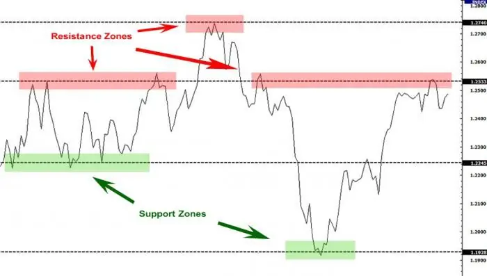
Support and resistance level. How to trade support and resistance levels correctly?

Support and resistance levels are the dominant concepts of the technical analysis of the foreign exchange market. Based on them, a large number of trading strategies have been developed, despite the fact that the lines belong to the category of inaccurate instruments
Geodetic reference boundary network: concept, classification, design

The organization of the country's land fund management system is impossible without the tools of practical land management. For this, geodetic means of providing and monitoring the land cadastre are used. The control object of this structure is the reference boundary network (BMS), which is built in the system of local coordinates, but is also included in the general geodetic infrastructure
Construction activity insurance. Insurance of investment and construction activities

Insurance of building objects: what is it for? Principles and prerequisites. Construction expertise and its recommendations
How child support is calculated. Formula and example for calculating child support for one and two children

Helping loved ones who cannot take care of themselves on their own is reflected in the legislation of the Russian Federation. The state created alimony as a protection mechanism for low-income relatives. They can be paid both for the maintenance of children and other close relatives who cannot take care of themselves. Read more about how child support is calculated
Well survey operator: job description and requirements

The employee accepted for this position is a worker. To be accepted, he needs to get a professional education and pass a special qualification training. The well survey operator must also have worked in this position for a grade below for at least a year

